
The final minutes of the Convection Working Group workshop in Ljubljana, 17-19 April 2018, are provided here (PDF file):
Author Archives: Patrik Johnsson
CWG2018 Ljubljana workshop presentations now available
Presentations of the CWG workshop in Ljubljana (17 – 19 April 2018) were recently uploaded to the CWG webpage and are now available in chronological order of the workshop programme here.

CWG Workshop (Florence, 4 – 8 April 2016)
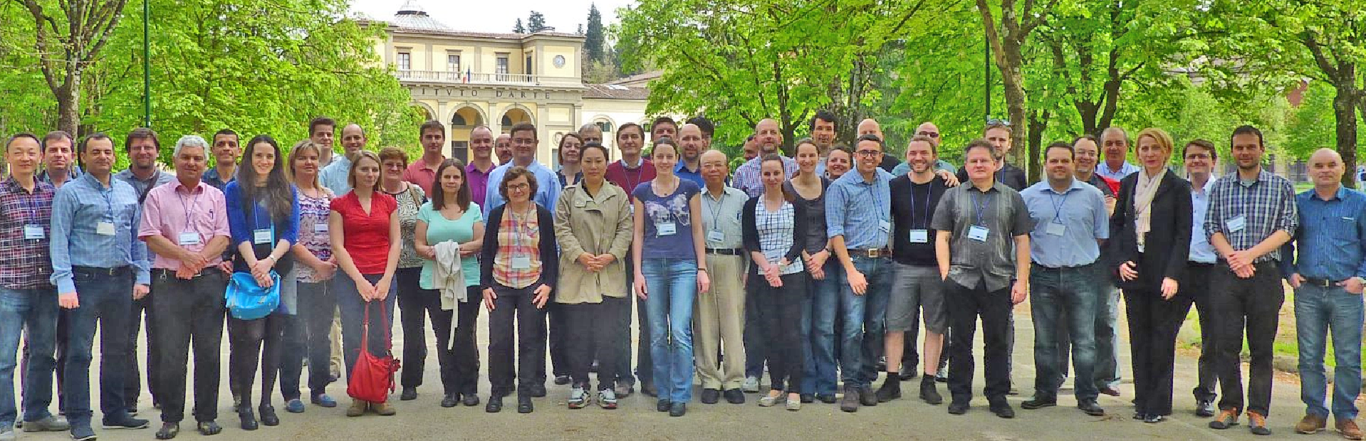
A Convection Working Group Workshop was held in Florence, Italy, 4-8 April, 2016. The workshop dealt with pre-convective environment, early detection and mature phase of convection, Rapid Scanning Service, Multi-sensor approach, Nowcasting SAF and New generations of meteorological satellites.
Information about the Workshop is available here:
Minutes (final as of 22 June 2016)
Presentations (PDF versions)
CWG Workshop Draft Agenda (update 29 March 2016)
Overshooting tops database for 20 June 2013 and 29 July 2013 (based on Meteosat-8, 2.5-minute rapid scan data)
Martin Setvák and Michaela Radová (Czech Hydrometeorological Institute, Praha, Czech Republic) have compiled a database of subjectively detected overshooting tops, based on data from the MSG-1 (Meteosat-8) 2.5-minute rapid scan experiments. As the subjective detection of overshooting tops was based on HRV data, it can be used either for validation of various automated OT detection methods (VIS or IR based), for development and testing of new OT detection algorithms, or for any research purposes.
The database contains series of images (HRV, IR10.8-BT, sandwich of HRV and IR10.8 bands, sandwich of HRV and the Storm RGB product, and BTD (WV6.2-IR10.8)) with plotted locations of all subjectively detected overshooting tops, an Excel file with basic information about the detected OTs, and a PDF file with description of the used method (a paper from the 2014 EUMETSAT conference in Geneva).
As the authors spent a non-negligible time on setting up the database, they would acknowledge to have an overview of who is using the database, and therefore the zip file below is password protected. Anyone willing to use this database for her/his work (or just browse the database images) is therefore kindly asked to contact the authors and request the password (from michaela.radova@chmi.cz or setvak@chmi.cz). Any feedback is welcome.
Download: MSG_OT_database.zip (size 660 MB).
CWG Splinter Meeting (Wr. Neustadt, 17 Sep. 2015)
On 17 September 2015, a part of the Convection Working Group came together at the European Conference on Severe Storms in Wiener Neustadt, Austria for a splinter meeting. The Minutes of the meeting can be found here:
Minutes of the CWG splinter meeting in Wiener Neustadt, 17 Sep. 2015
Impact of Background Model to the MSG Global Instability Indices (GII) Processing
Mária Putsay, Zsófia Kocsis, Gergely Bölöni, Mihály Szűcs (Hungarian Meteorological Service) and Marianne König (EUMETSAT) have performed a study of the Impact of Background Models to the Global Instability Index product. Here you can download a presentation of the study.
The Global Instability Indices product provide information on the pre-convective environment: precipitable water content (total column and three distinct layers) and instability indices, in clear sky conditions.
It is derived by a physical retrieval using 6 SEVIRI infrared channels. The physical retrieval tries to find an atmospheric profile which best reproduces the observations. This is a multi-solution problem, and a “background profile” is used as a constraint.
Different NWP models (ECMWF, ALADIN/HU, AROME) were used as a background for several cases to study the impact of the background fields. Cases when the models had similar and different forecasts were selected then the GII outputs were compared to each other. The effects of the horizontal and vertical resolution of the background fields were studied.
CWG Workshop and Meeting Minutes
Featured
Minutes of all past CWG Meetings and Workshops can be found here:
CWG Workshop in Zagreb, 7 – 11 April 2014
Minutes and presentations
CWG Meeting in Helsinki, 6 June 2013
Minutes
CWG Meeting in Sopot, 4 September 2012
Minutes
CWG Workshop in Prague, 27 – 30 March 2012
Minutes and presentations
CWG Meeting in Palma, 4 October 2011
Minutes [pdf]
CWG Meeting in Cordoba, 24 September 2010
Minutes [pdf]
CWG Workshop in Landshut, 8-10 October 2009
Minutes [pdf]
Recommendations
CWG Meeting in Darmstadt, 8 September 2008
Minutes [pdf]
CWG Meeting in Krakow, 15-16 November 2007
Minutes [pdf]
Satellite observations and ESWD
Martin Setvák and Vesa Nietosvaara, chairs of CWG
Various new satellite products or applications, as well as satellite-related research studies require (among other) ground-truth data for their verification, namely when dealing with severe weather produced by convective storms. For these purposes, typically data from official weather station reports, hailpad networks, field campaign networks, weather radars, and data from insurance companies are being used. Though, due to the nature of deep convective storms, the most significant weather may affect rather small areas only, with a high chance of not being recorded by regular observations of professional weather stations and their networks. For this reason, data from alternate or additional sources may be needed, to increase the density of ground observations. One of such possible data sources is the European Severe Weather Database (ESWD, http://www.eswd.eu), managed by the ESSL.
Presently, only several of European national weather services (NWS) officially contribute to ESWD (http://www.essl.org/cms/european-severe-weather-database/eswd-cooperations), which makes the use of ESWD records somewhat problematic, not covering parts of Europe as needed. In order to enhance the usability and reliability of ESWD data for satellite-related studies, the chairs of the Convection Working Group wish to encourage those NWS (or any other official meteorological institutions) which do not contribute yet to the ESWD, to consider their possible collaboration with or contributions to the ESWD. More representative and comprehensive ESWD database is likely to result in more reliable satellite products, and may as well contribute to better understanding of satellite-observed storm-top processes and phenomena and their significance for nowcasting applications.
CWG Splinter Meeting (Geneva, 24 Sep. 2014)
Part of the Convection Working Group came together at the EUMETSAT Conference in Geneva Switzerland for a splinter meeting. The minutes of the meeting can be found here: 20141024_CWG_splinter_meeting_Geneva_8Sep2014.
Consistency checks of RSS and super RSS image time sequences and their importance in evaluation of storm top features
Ján Kaňák, SHMÚ
Ján Kaňák conducted consistency checks of RSS and super RSS image time sequences on the base of consultations with Johannes Mueller from EUMETSAT (STG-SWG action-35.13). The resulting full report can be found here.
The main results from this work are:
- In spite of the fact that calibration of IR 10.8 micron channel was stable during experiments, Earth’s atmosphere anisotropy influences the measured brightness temperatures of the same scene from different orbit positions (MSG1,2 and 3) in order of 1-2 K during the day. This can slightly influence some quantitative algorithms (NWCSAF, OT detections) applied to data from the same time, for the same region but from different MSG satellites.
- During RSS experiments in 2013 by MSG-1 some stronger horizontal (East-West direction) image drifts occurred in south part of imagery, which influenced overall image geometry also over central and northern regions of Europe. Because of short scan time interval (2.5min) also small image drifts can be comparable to the cloud movement and therefor can not be neglected in meteorological interpretation of some small scale features (cloud edges, OT exact positions).
- Periodic, but in average small (subpixel) image drifts were found in 2.5min RSS imagery with the period of 30 minutes, which can be neglected in meteorological interpretation.