CWG Workshop (Zagreb, 7-11 April 2014)

The joint EUMETSAT-ESSL Convection Working Group has met from 7 – 11 April in Zagreb to review the state-of-the-art in the use of satellite data for the detection and prediction of convective storms. Over 40 participants from Europe and around the world presented and discussed their research. The workshop dealt with techniques that assess the preconvective environment, to detect the development of storms and to monitor mature stages of their life cycle. In addition, ways to combining satellite information with other data were discussed. The use of satellite imagery with a very high temporal resolution, such as that obtained in the 2013 experiments with 2.5-minute scans, received particular attention.

Download the Minutes of the Workshop by clicking here.

These are the presentations of the meeting:

Session 1: Pre-convective environment

  • Marianne König: GII and forecast background fields [pdf].
  • Mária Putsay: Satellite derived instability indices – some further insights (part I) [pdf].
  • Zsófia Kocsis: Satellite derived instability indices – some further insights (part II) [pdf]
  • Ralph Petersen: Diagnosing and predicting the pre-convective environment on 20 June 2013 [ppsx]
  • Izidor Pelajić: Preliminary results on using hyperspectral data in stability analyses [pdf]
  • Daniel Rosenfeld: Use of satellite measurements of surface skin temperature for retrieving the intensity of thermals [pdf]
  • Sung-Rae Chung: Development of Instability Index of GEO-KOMPSAT-2A [ppsx]
    [movie; avi]
  • José Miguel Fernández-Serdán: Brief introduction to a tool upgrade [pdf]
  • Ralph Petersen: Lessons learned at the ESSL summer experiment regarding current and future observations and predictions of the pre-convective moisture structures [ppsx]
  • Thomas Krennert: Symmetric instabilities in DMC initiation [pdf]

Session 2: Early Convection

  • Daniel Rosenfeld: Use of high-resolution NPP/VIIRS imager for retrieving cloud base temperature and application for estimating boundary layer vapour mixing ratio [pdf]
  • Danyu Qin: CMA rapid development convective clusters algorithm for FY-4 [pdf]
  • Yasuhiko Sumida: Efforts of upgrading Rapidly Developing Cumulus Area product using NWP data and the satellite simulator [ppsx]

Session 3: Mature Convective Clouds

  • Pao Wang: Dynamical processes at the storm top [ppsx]
    [movie 1; avi] [movie 2; avi] [movie 3; avi] [movie 4; avi] [movie 5; mp4]
  • Daniel Rosenfeld: Using MSG retrieved cloud parameters for nowcasting of severe convective storms [pdf]
  • Jochen Kerkmann: Case study of cold ring-shaped storm [ppsx]
    [movie 1; mp4] [movie 2; mp4]
  • Jochen Grandell: Status of LI proxy data [ppsx]
    [movie 1; avi] [movie 2; avi] [movie 3; avi] [movie 4; avi] [movie 5; avi] [movie 6; avi] [movie 7; avi] [movie 8; avi]
  • Luiz Machado: Nowcasting the fortracc and lightning – the CHUVA campaign [pdf]
  • Mateja Iršič Žibert: Importance of remote sensing data in cases where NWP does not capture convection [pdf]
  • Wayne Feltz: Weather watches and warnings for the 20 May 2013 Moore, OK, tornado outbreak’ [pdf]
  • Humberto Barbosa: The African Easterly Waves and their influence on hurricane activity in the tropical North Atlantic: An assessment of hurricane Bill (2009) using SEVIRI data and products [pdf]
  • Jochen Kerkmann: Short information: More on hurricanes [ppsx]
    [movie 1; avi] [movie 2; avi] [movie 3; avi] [movie 4; mpg]
  • Luiz Machado: The use of multi-channel imagery for inner cloud wind extraction and cloud classification [pdf]
  • Martin Setvák: Use of the VIIRS Day-Night Band for nocturnal storm-top studies and for night-time sandwich products [pdf]

Session 4: Rapid Update Imagery

  • Steve Goodman: 1-min super rapid scan demonstrations at the GOES-R proving ground [ppsx]
  • Kristopher Bedka: The co-evolution of total lightning, ground-based radar derived fields, and GOES 1-min super rapid scan satellite observations of deep convective cloud tops [ppsx]
    [movie 1; mov] [movie 2; mov] [movie 3; mov]
  • Martin Setvák: 2013 MSG 2.5 min rapid scan experiments – summary and early results [ppsx]
    [movie 1; mov] [movie 2; mov] [movie 3; mov] [movie 4; mov]
  • Ján Kaňák: Evaluation of overshooting tops observed in super RSS experiments in both HRV and IR spectral channels with respect to detectability of OT brightness temperatures and penetration heights [ppsx]
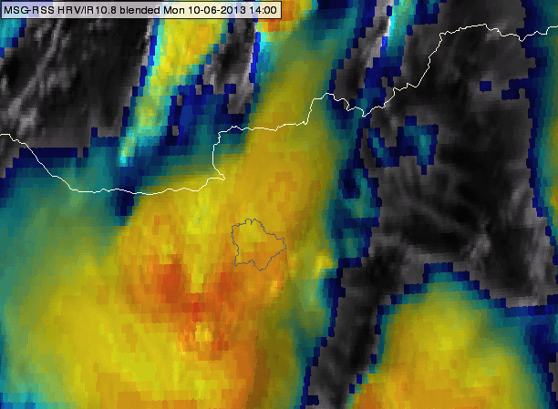
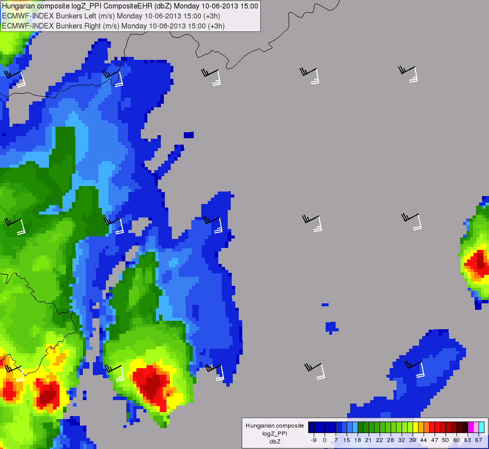
    [movie 1; avi] [movie 2; avi]
  • Agostino Manzato: 2.5 min scans: Case study in NE Italy – a supercell outbreak [pdf]
  • John Mecikalski: Uses of 1-min GOES data for understanding in-cloud processes [ppsx]
  • Monika Pajek: Preliminary remarks and analysis of Meteosat 2.5 min data in convective situations
  • Ján Kaňák: Consistency checks of RSS and super RSS image time sequences and their importance in evaluation of storm top features [pdf]

Session 5: Combining Datasets

  • John Mecikalski: Relationship between lightning, radar fields and satellite IR data for convective storms [pdf]
  • Kathrin Wapler (presented by Fabian Senf): Synergetic use of multi-sensor data [pdf]
  • Luca Nisi: Forecast verification and forecasters’ feedback: one year of COALITION operational service [ppsx]
  • Wayne Feltz: Integrated Observations for Probabilistic Severe Storm Prediction [ppsx]
  • Nataša Strelec Mahović: OTs and lightning and connection to hail occurrence [pdf]
  • Oleksii Kryvobok: Short-range forecasting and nowcasting operational products for severe weather [pdf]
  • Monika Pajek: Analysis of a tornadic storm case with use of model data
  • Kristopher Bedka: Short information: Development of satellite-based climate data records of hazardous convective storm activity
  • Fabian Senf: The OASE project within the Hans Ertel Centre for Weather research – data composite and early results [pdf]
  • Luca Nisi: Hail project and the Alpine Thunderstorm Archive (ATA): New research activites at MeteoSwiss [ppsx]
  • Luiz Machado: The severe storm geographical observation system [pdf]
  • Pieter Groenemeijer: The ESSL Testbed [pptx]

Focus on the most interesting data of the 2.5-minute rapid scan experiments with MSG satellites

Martin Setvák (CHMI) has compiled a summary of the 2.5-minute rapid scan experiments, carried out in 2012 and 2013 with the Meteosat Second Generation satellites. These can be found here (PDF version of a presentation, given by Martin Setvák on 02 October 2013 at CIMSS, Madison, Wisconsin). A related EUMETSAT document, MSG 2.5-min Rapid Scan Operational Constraints, presented at the EUMETSAT STG-OPSWG meeting on 11 September 2013 in Darmstadt, is available here.

Detailed image loops from the two most interesting days, 20 June 2013 and 29 July 2013, can be found below. The loops are in the original satellite projection, the HRV images being zoom 2x, all other bands 6x. All files are 1280×800, QuickTime MOV files.

20 June 2013

HRV
IR10.8-BT (200-240K)
Storm-RGB
Sandwich of HRV and IR10.8-BT
Sandwich of HRV and storm-RGB

29 July 2013

HRV
IR10.8-BT (200-240K)
Storm-RGB
Sandwich of HRV and IR10.8-BT
Sandwich of HRV and storm-RGB


Severe storm over Hungary on 10 June 2013: Deflecting above anvil ice-plume

Mária Putsay, Kornél Kolláth and André Simon (Hungarian Meteorological Service)

On 10 June 2013, a severe thunderstorm that produced large hail moved across parts of Hungary. The authors observed that the orientation of the ice plume produced by the storm changed during its late development stage. The causes for this behavior are analysed through an analysis of the storm motion vector and the wind vectors. Here is the report in pdf-format. In addition, a Powerpoint presentation and two animations (satellite, radar) illustrate the case.

HRV_IR_blended_delay50_20130610_1400_1630radar_bunker_anim_20130610_1500_1710

The World Weather Open Science Conference

The CWG received an announcement for …

The World Weather Open Science Conference

WWOSC-2014 – The weather: what’s the outlook?

Montréal, Canada, 16 to 21 August 2014

Theme: Seamless Prediction of the Earth System: from minutes to months

The Conference is structured around two programs:

• The science program will cover both the basic weather research that extends knowledge of processes and systems and the applied research needed to put prediction systems together and assess the impacts of weather and climate events.

• The user, application & social science program will consider the goods and services economy and the role of government in disaster risk reduction/management and the communication of weather information.

For more information, please visit:

WWOSC2014_Web button

2013 Meteosat-8 (MSG-1) 2.5-minute rapid scan data available (updated 24 November)

Martin Setvák (CHMI)

Following the first experimental 2.5-minute rapid scan carried out with MSG-3, EUMETSAT agreed to perform several similar 2.5-minute rapid scans with its older satellite, Meteosat-8 (MSG-1). Based upon recommendations of the satellite manufacturers, total of four 12-hour scanning sessions were approved have been carried out during the spring and summer of 2013. Below, you will find overview movie files (1280×540) for all the data collected during these 2.5-minute rapid scan sessions. The original (source) SEVIRI data from these experiments can be ordered and downloaded from the EUMETSAT’s Earth Observation Portal archive (https://eoportal.eumetsat.int/), for a special access to these data please contact the User Support Helpdesk (ops@eumetsat.int) first.

Overview movie files:

2013-05-17

RGB-129 slower (10-fps): mp4 or mov, faster (30-fps): mp4 or mov
IR10.8-BT (200-240K) slower (10-fps): mp4 or mov, faster (30-fps): mp4 or mov
Storm-RGB slower (10-fps): mp4 or mov, faster (30-fps): mp4 or mov

2013-06-17

RGB-129 slower (10-fps): mp4 or mov, faster (30-fps): mp4 or mov
IR10.8-BT (200-240K) slower (10-fps): mp4 or mov, faster (30-fps): mp4 or mov
Storm-RGB slower (10-fps): mp4 or mov, faster (30-fps): mp4 or mov

2013-06-20

RGB-129 slower (10-fps): mp4 or mov, faster (30-fps): mp4 or mov
IR10.8-BT (200-240K) slower (10-fps): mp4 or mov, faster (30-fps): mp4 or mov
Storm-RGB slower (10-fps): mp4 or mov, faster (30-fps): mp4 or mov

2013-07-29

RGB-129 slower (10-fps): mp4 or mov, faster (30-fps): mp4 or mov
IR10.8-BT (200-240K) slower (10-fps): mp4 or mov, faster (30-fps): mp4 or mov
Storm-RGB slower (10-fps): mp4 or mov, faster (30-fps): mp4 or mov

Study on the Convection Initiation product and satellite-derived environmental parameters during convective events

In the framework of a EUMETSAT Scientific Study, colleagues from the Hungarian Meteorological Service OMSZ and EUMETSAT have studied the Convective Initiation product and satellite derived environmental parameters (atmospheric water vapour content and instability) for a number of severe and non-severe storm cases.

Mária Putsay, Zsófia Kocsis, Marianne Koenig, André Simon, Ildikó Szenyán and Márta Diószeghy investigated the possibilities to combine the Convection Initiation information with the environmental instability and airmass parameters to further improve the reliability of the product, and to study a possible relationship between the pre-convective environment and later storm severity.

The results can be found in this presentation (ppt).

MSG-3 experimental 2.5-minute rapid scan
(11 – 12 September 2012)

Martin Setvák

The document and the related presentation (zip file), given at the EUMETSAT 34th STG-SWG meeting, focus on data collected within the 2.5-minute super-rapid scan experiment that was carried out by EUMETSAT on 11-12 September 2012 with the MSG-3 satellite during its commissioning. Despite the fact that the experiment was conducted in late summer at the end of convective season for most of Europe, the data captured several regions of deep convective storm activity. The study documents some of these regions, focusing on the appearance and evolution of storm tops namely from the perspective of possible impacts of the shorter scanning interval on detection of overshooting tops.