New Convection Nowcasting Satellite Guidance

A draft version of a new CWG service is now available online:

https://cwg.eumetsat.int-satellite-guidance/

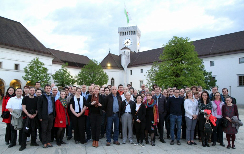
We thank all authors for their input and invite the community to comment on this draft. It is planned that this service will be discussed at the upcoming CWG meeting in Ljubljana, Slovenia, in April 2018.

A direct link to this new service is also offered in the top menu of the CWG webpage.

Missing image files replaced

On some CWG website pages image files were reported missing. All those files are replaced now and available again. Please have a look at the “Documentation” section of our webpage. Big thanks go to the authors of the original papers, who gave their kind support by re-providing or even re-producing the lost figures.

There is also a substantial increase in listed papers in the “New relevant papers” section. Enjoy reading!

Satellite observations and ESWD

Martin Setvák and Vesa Nietosvaara, chairs of CWG

Various new satellite products or applications, as well as satellite-related research studies require (among other) ground-truth data for their verification, namely when dealing with severe weather produced by convective storms. For these purposes, typically data from official weather station reports, hailpad networks, field campaign networks, weather radars, and data from insurance companies are being used. Though, due to the nature of deep convective storms, the most significant weather may affect rather small areas only, with a high chance of not being recorded by regular observations of professional weather stations and their networks. For this reason, data from alternate or additional sources may be needed, to increase the density of ground observations. One of such possible data sources is the European Severe Weather Database (ESWD, http://www.eswd.eu), managed by the ESSL.

Presently, only several of European national weather services (NWS) officially contribute to ESWD (http://www.essl.org/cms/european-severe-weather-database/eswd-cooperations), which makes the use of ESWD records somewhat problematic, not covering parts of Europe as needed. In order to enhance the usability and reliability of ESWD data for satellite-related studies, the chairs of the Convection Working Group wish to encourage those NWS (or any other official meteorological institutions) which do not contribute yet to the ESWD, to consider their possible collaboration with or contributions to the ESWD. More representative and comprehensive ESWD database is likely to result in more reliable satellite products, and may as well contribute to better understanding of satellite-observed storm-top processes and phenomena and their significance for nowcasting applications.

Consistency checks of RSS and super RSS image time sequences and their importance in evaluation of storm top features

Ján Kaňák, SHMÚ

Ján Kaňák conducted consistency checks of RSS and super RSS image time sequences on the base of consultations with Johannes Mueller from EUMETSAT (STG-SWG action-35.13). The resulting full report can be found here.

The main results from this work are:

  1. In spite of the fact that calibration of IR 10.8 micron channel was stable during experiments, Earth’s atmosphere anisotropy influences the measured brightness temperatures of the same scene from different orbit positions (MSG1,2 and 3) in order of 1-2 K during the day. This can slightly influence some quantitative algorithms (NWCSAF, OT detections) applied to data from the same time, for the same region but from different MSG satellites.
  2. During RSS experiments in 2013 by MSG-1 some stronger horizontal (East-West direction) image drifts occurred in south part of imagery, which influenced overall image geometry also over central and northern regions of Europe. Because of short scan time interval (2.5min) also small image drifts can be comparable to the cloud movement and therefor can not be neglected in meteorological interpretation of some small scale features (cloud edges, OT exact positions).
  3. Periodic, but in average small (subpixel) image drifts were found in 2.5min RSS imagery with the period of 30 minutes, which can be neglected in meteorological interpretation.

McVCast Download

For historic overview CWG has the archived McIdasVCast software available. The version offered below is for McVCast1.4 from 2014.

Please note that standard McIDAS-V software has several updates since 2014, and the latest version you can download at the official McIDAS-V site.

To install the McIDASVCast system, we recommend that you:

1. First downlaod the Setup Guide.

2. From the guide, determine which of the following packages you need, and then download that package:

The World Weather Open Science Conference

The CWG received an announcement for …

The World Weather Open Science Conference

WWOSC-2014 – The weather: what’s the outlook?

Montréal, Canada, 16 to 21 August 2014

Theme: Seamless Prediction of the Earth System: from minutes to months

The Conference is structured around two programs:

• The science program will cover both the basic weather research that extends knowledge of processes and systems and the applied research needed to put prediction systems together and assess the impacts of weather and climate events.

• The user, application & social science program will consider the goods and services economy and the role of government in disaster risk reduction/management and the communication of weather information.

For more information, please visit:

WWOSC2014_Web button