
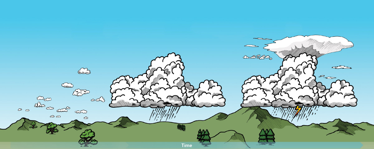
STEP BY STEP DEEP CONVECTION NOWCASTING

1. Pre-Convective Environment

2. Convective Initiation

3. Mature Convective Storm
Useful tools:
NWP data, Radiosonde and aircraft measurements
MSG GII/RII Product – instability & moisture
iSHAI Products – instability & moisture
HRW Product – wind fields
METOP/IASI level2 – temp & moisture vert. profiles
Useful tools:
Radar, lightning data
Cloud Type
Cloud Top Temperature and Height
Cloud Microphysics
Convection Initiation – demonstrational
Optimal Cloud Analysis – demonstrational
Useful tools:
Radar, lightning data
RDT Product – storm tracking
Precipitating Clouds
CRR Product – precipitation
NEFODINA
Overshooting Top Detection
MSG Sandwich Product (HRV+IR10.8 enhanced)
Lightning Density
Suitable RGB Imagery for Convection monitoring at different stages of development (EUMeTrain Quick Guides)
Suitable RGB Imagery for providing visual information on atmospheric water vapour content in cloud-free areas (EUMeTrain Quick Guides)


CWG satellite nowcasting guidance version 2018-2. Cloud photos source: WMO International Cloud Atlas, Copyright Stephen Burt and Matthew Clark. Design specification for this webpage: Stephen Killick, EUMETSAT.
Printable overview poster [pdf]
This is a service from the EUMETSAT Convection Working Group (CWG).
Contact for feedback: CWG secretariat
 with support from Vesa Nietosvaara, EUMETSAT